Austria Day 5: The Augarten Flaktürme
The Augarten is a 130-acre Baroque-era public park in central Vienna. A recreation area for emperors and Austrian kings since the 1600’s, the current park was commissioned by Emperor Charles VI in 1712. It contains elaborate flower gardens, a small palace, and broad avenues lined with chestnut, lime, ash, and maple trees.
In 1940, the Nazi authorities began construction of a series of fortified anti-aircraft batteries to protect the major cities from Allied bombings. The Augarten was chosen as the site for the batteries to defend Vienna. Two large (180’) heavily reinforced flaktürme (flak towers) were built, equipped with the largest and most powerful anti-aircraft cannons in history. To support the construction, the Nazis laid 16 railroad lines, criss-crossed the park with armored vehicle tracks, built a barracks and other support buildings, dumped hundreds of cubic yards of garbage, and buried unknown numbers of war dead (including slaves who died building the Flaktürme).
The huge anti-aircraft guns on the Flaktürme were highly effective, such that Allied bombers went well out of their way to avoid them. Thus the Flaktürme helped ensure that the old city of Vienna suffered very little damage during the war, while many other Austrian cities were leveled. (Substantial damage occurred at the war’s end at the hands of the retreating German soldiers and looters.)
The Augarten has been largely restored in the 8 decades since the war, leaving the barracks (now a restaurant) and the two nearly indestructible Flaktürme as the sole reminders of the Nazi presence.
I learned about Nazi Architecture and the Flaktürme while researching my Austrian trip on Wikipedia. It had not occurred to me that a totalitarian state would use architecture as a form of propaganda, even though the Romans and Greeks had done the same. It was easy to imagine how these mind-numblingly ugly structures must have influenced George Orwell’s distopian writings. So I penciled in the Flaktürme as one of the places I would try to see on my (very limited) free time in Vienna.
Aerial View of the Augarten
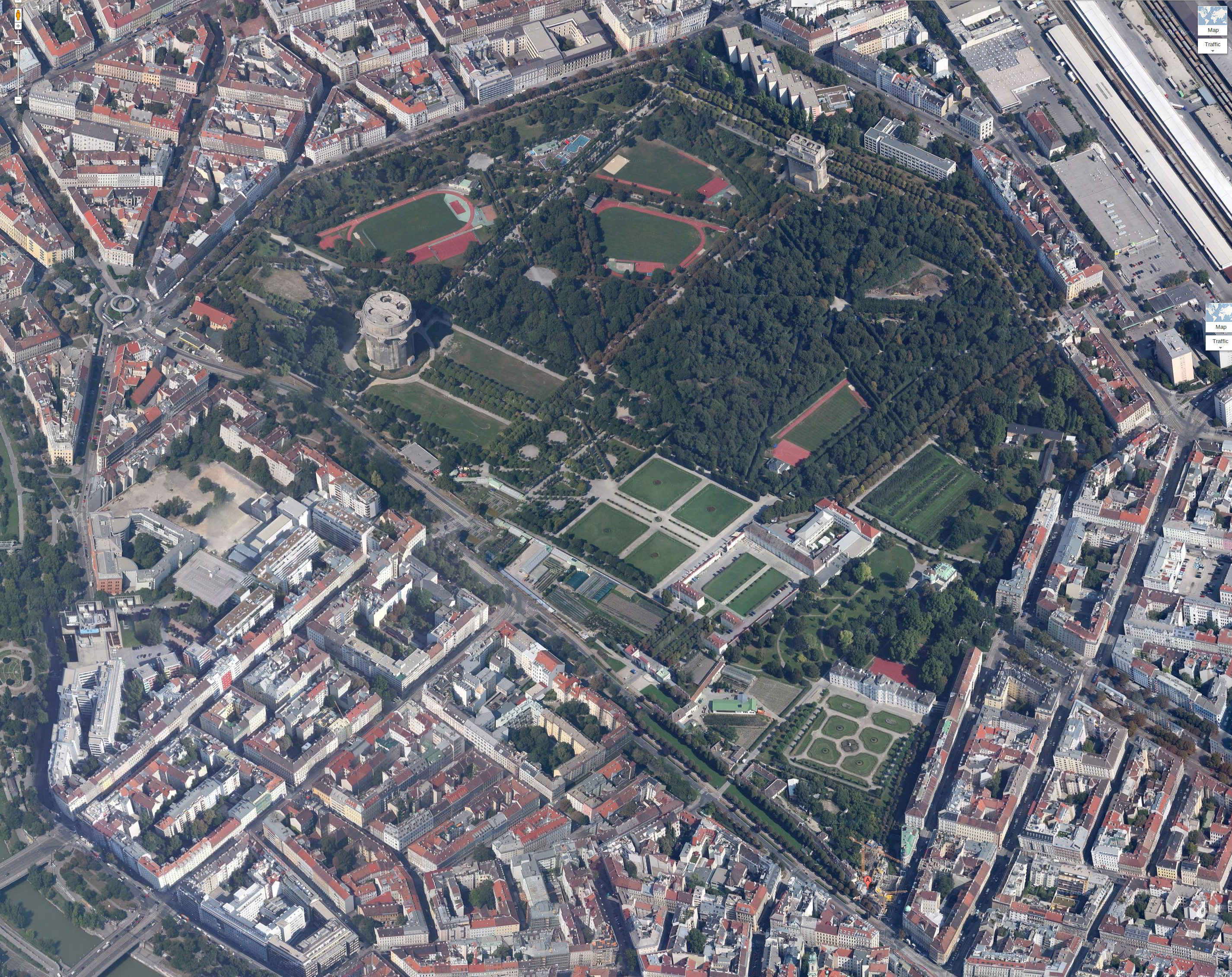
Aerial View of the Augarten from Google Earth. Flaktürme VII G-tower is on the left (west); Flaktürme VII L-tower is on the upper right (north east). The MuTh is marked with the red pushpin in the lower right (south east).
The Augarten was originally a flood plain for the Danube, but flood controls built in the 1860’s permanently cut the Augarten off from the river.
Main entrance to the MuTh (Musik & Theatre)
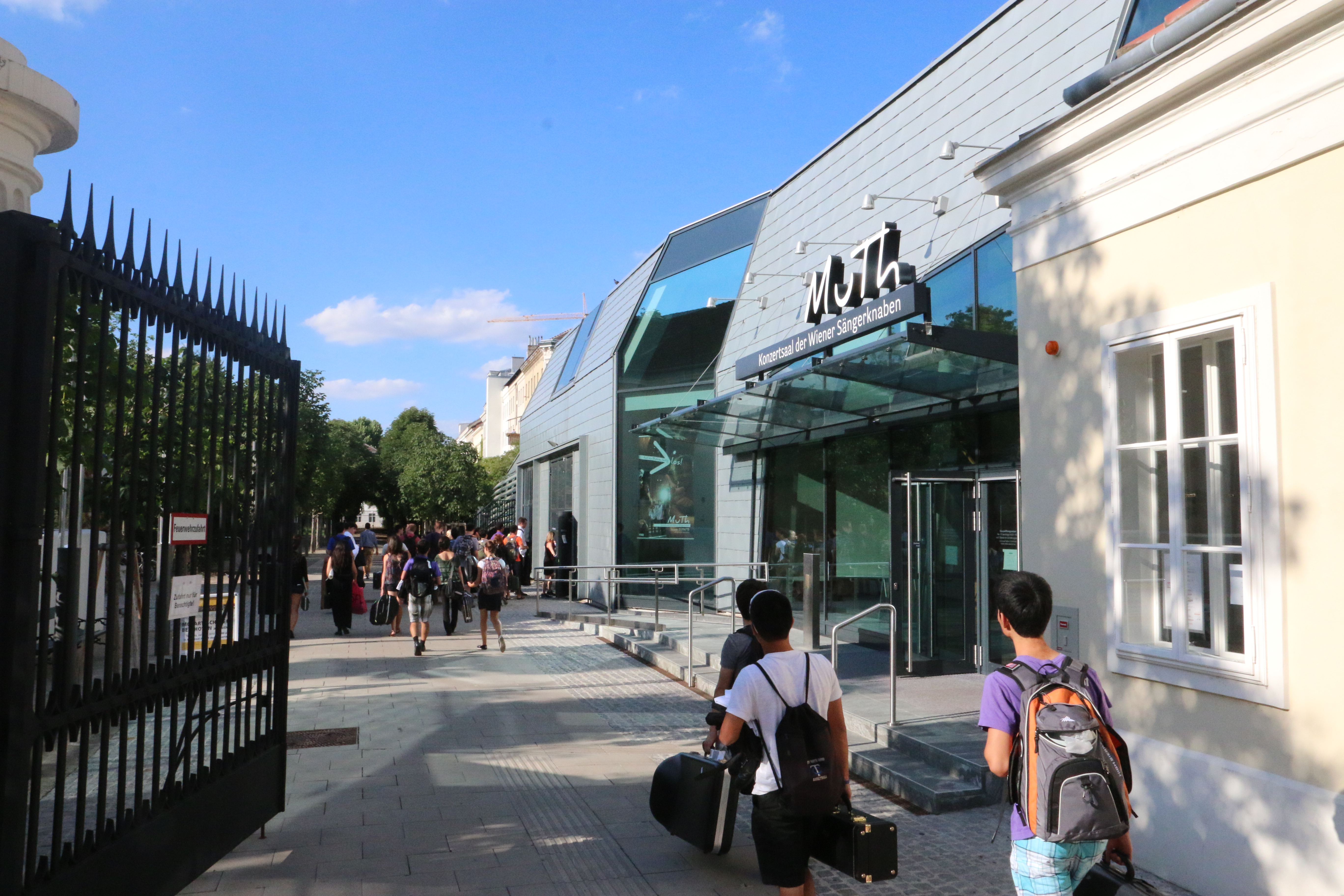
The MuTh (Musik & Theatre) is the only concert hall built in Vienna in the past century. The name is a pun on the Old German word for “courage.” The text just below the MuTh logo reads “Concert hall for the Vienna Boys Choir.” The theatre is located just inside the Augarten. Its location was extremely controversial, with locals complaining that it was just as out of place in the park as the Flaktürme. But their complaints had little chance for success, as the sponsor was also the primary contractor, and the government official who had to grant a waiver to build on this cultural heritage site was the contractor’s wife!
The Homestead Symphonic Wind Ensemble at the MuTh
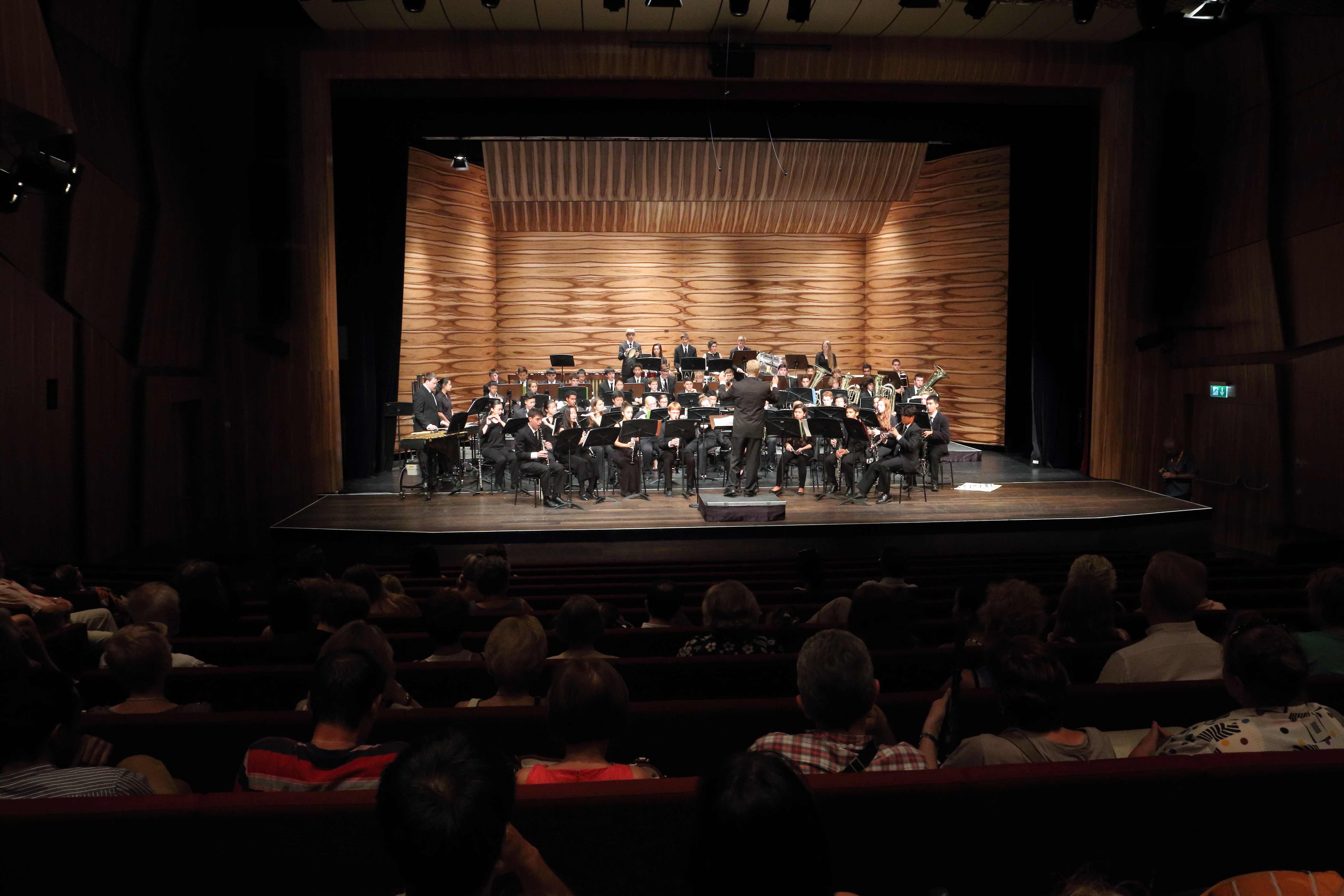
Homestead was one of two ensembles from the Suma Cum Laude Festival that performed that night. I bailed on the other group — an orchestra from Spain — both because I was feeling claustrophobic and because I really wanted to see the Flaktürme.
Pathway from the Muth into the Augarten
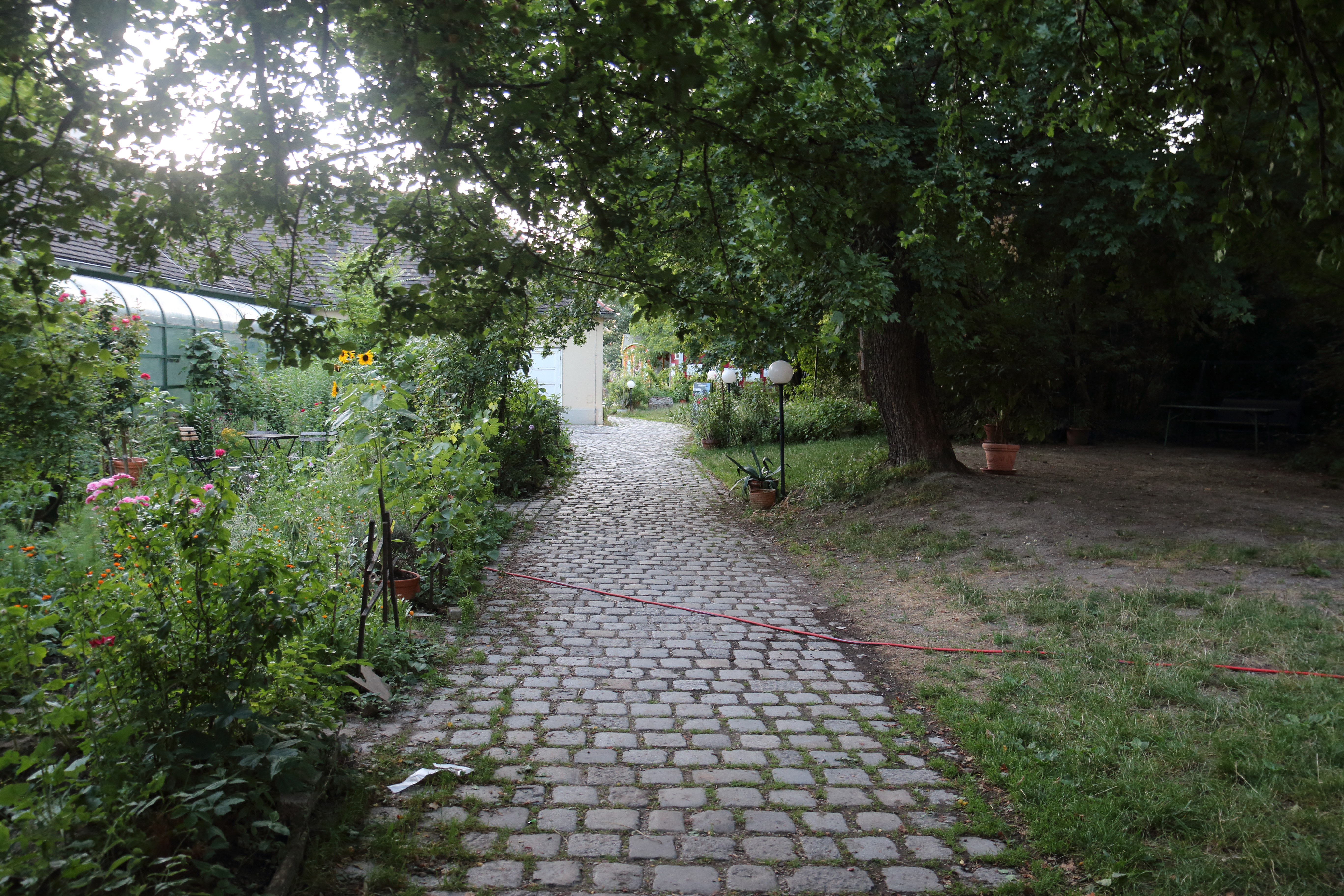
The pathway from the Muth into the Augarten. It turned out that this path dead ended, so we circled around to the street (Obere Augartenstraße) on the south west.
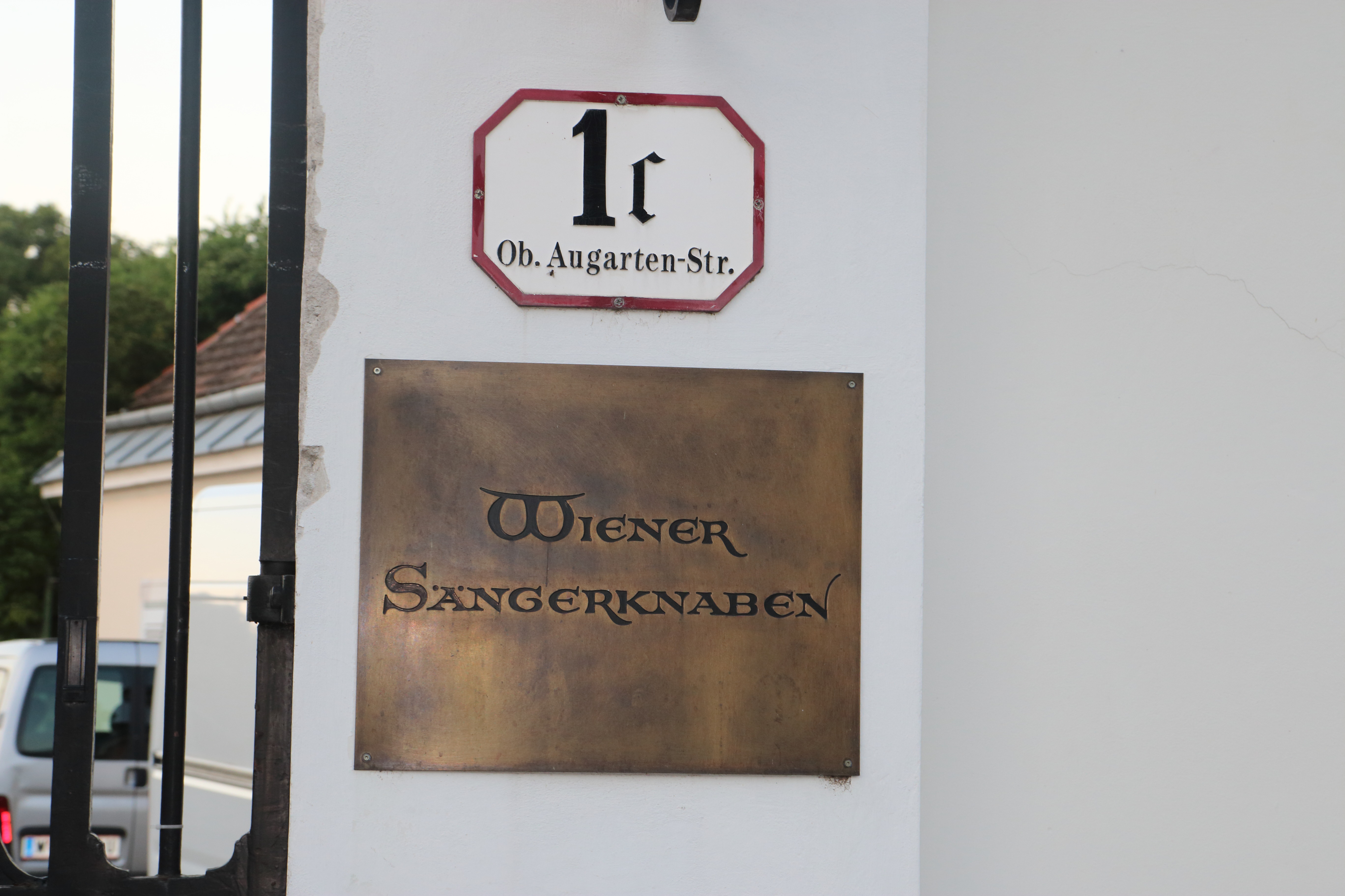
Walking out the gate towards Obere Augartenstraße, I thought to look back and noticed this sign by the gate. “Wiener Saengerknaben” is the proper name of The Vienna Boy’s Choir.
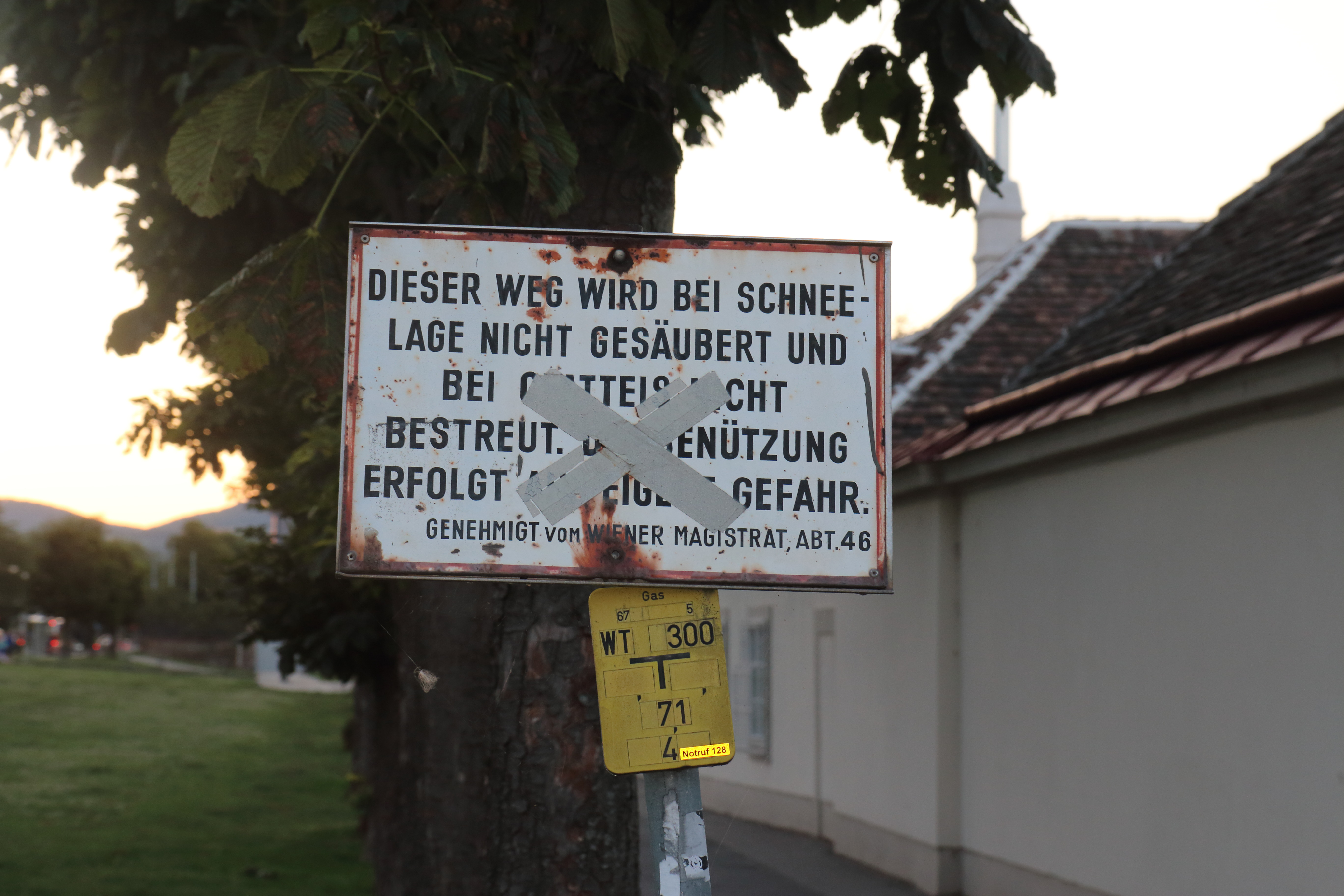
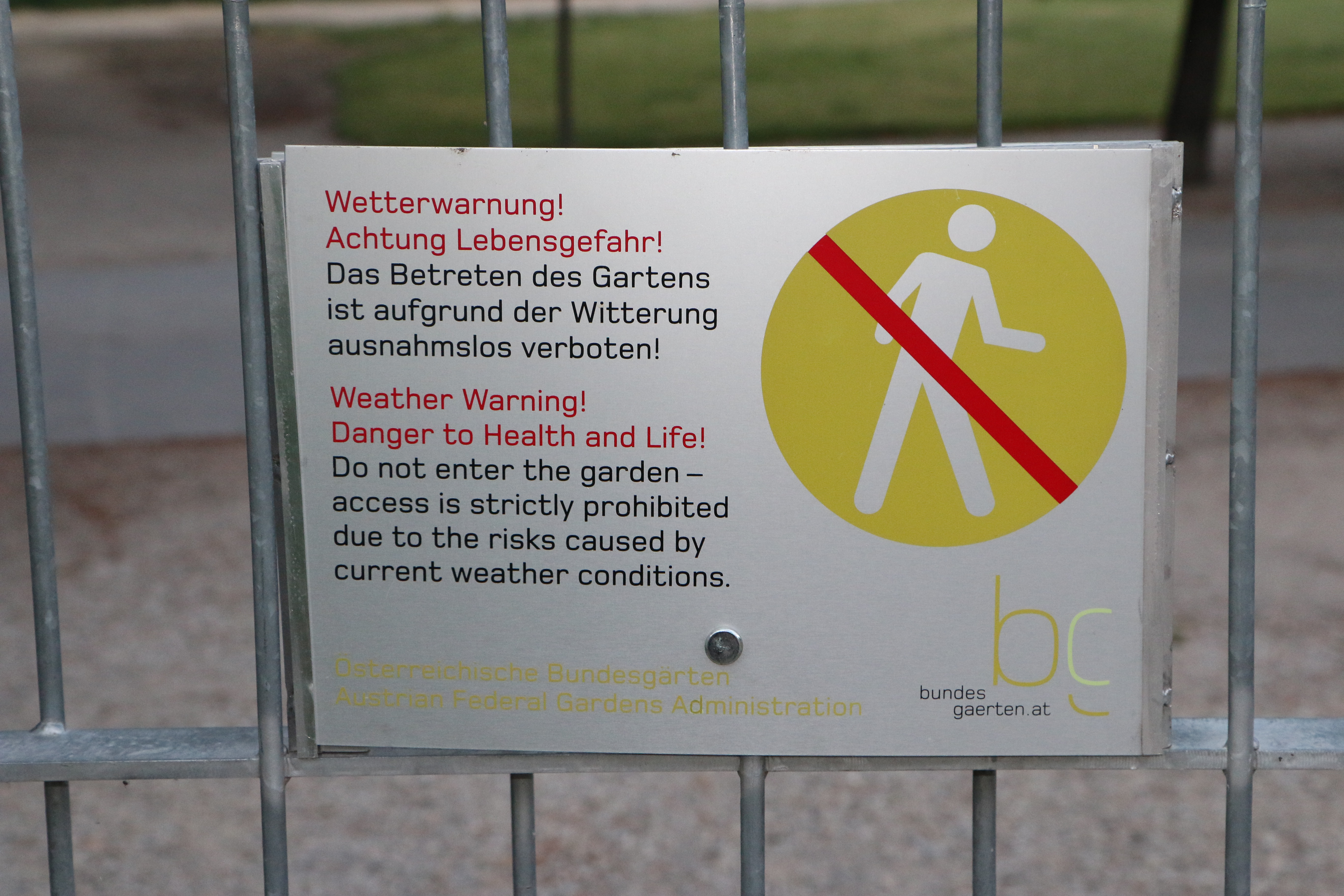
There was also this threatening-looking sign just outside the gate. It reminded me of something out of an old war movie, so I took a picture of it.
Ah, how tourists can be led astray by prejudices, bad assumptions, and bewildering context. It’s actually just a warning that the sidewalk doesn’t get snowplowed in winter.
Augarten Main Gate
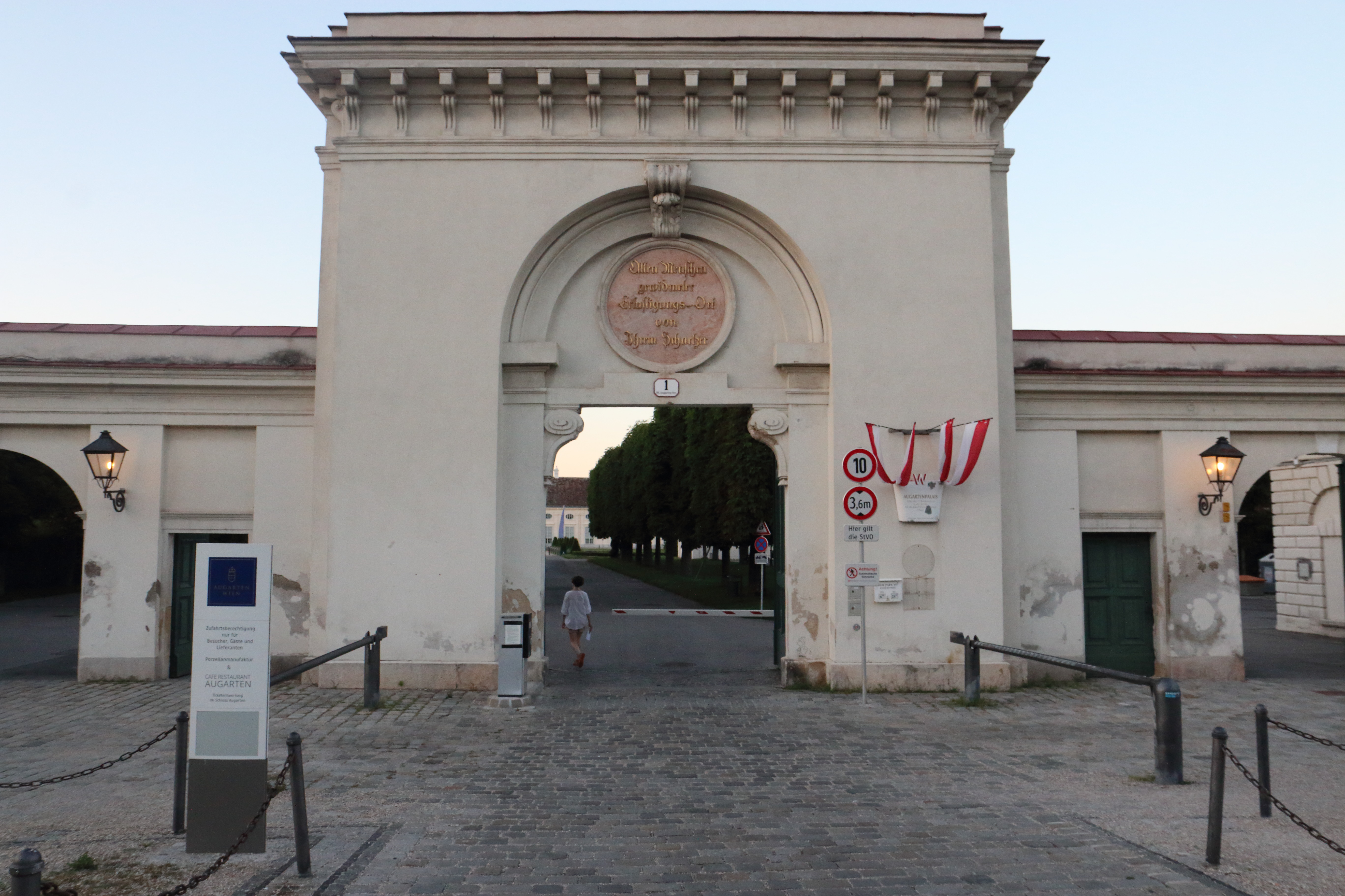
The main gate to the Augarten along Obere Augartenstraße. The palace is visible just beyond the trees.
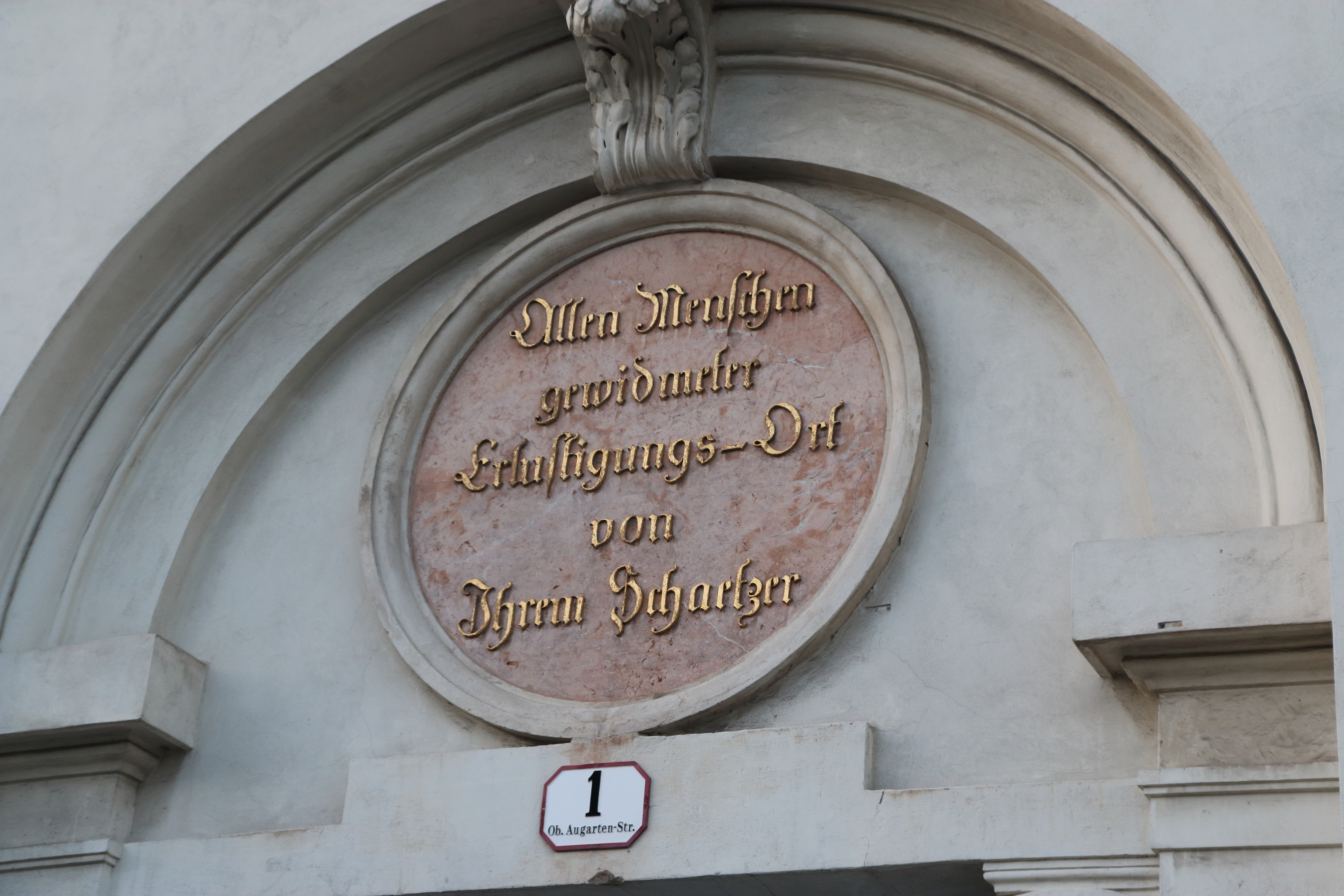
The inscription above the gate translates as “A place of amusement dedicated to all people by their Cherisher.”
A garden within the garden!
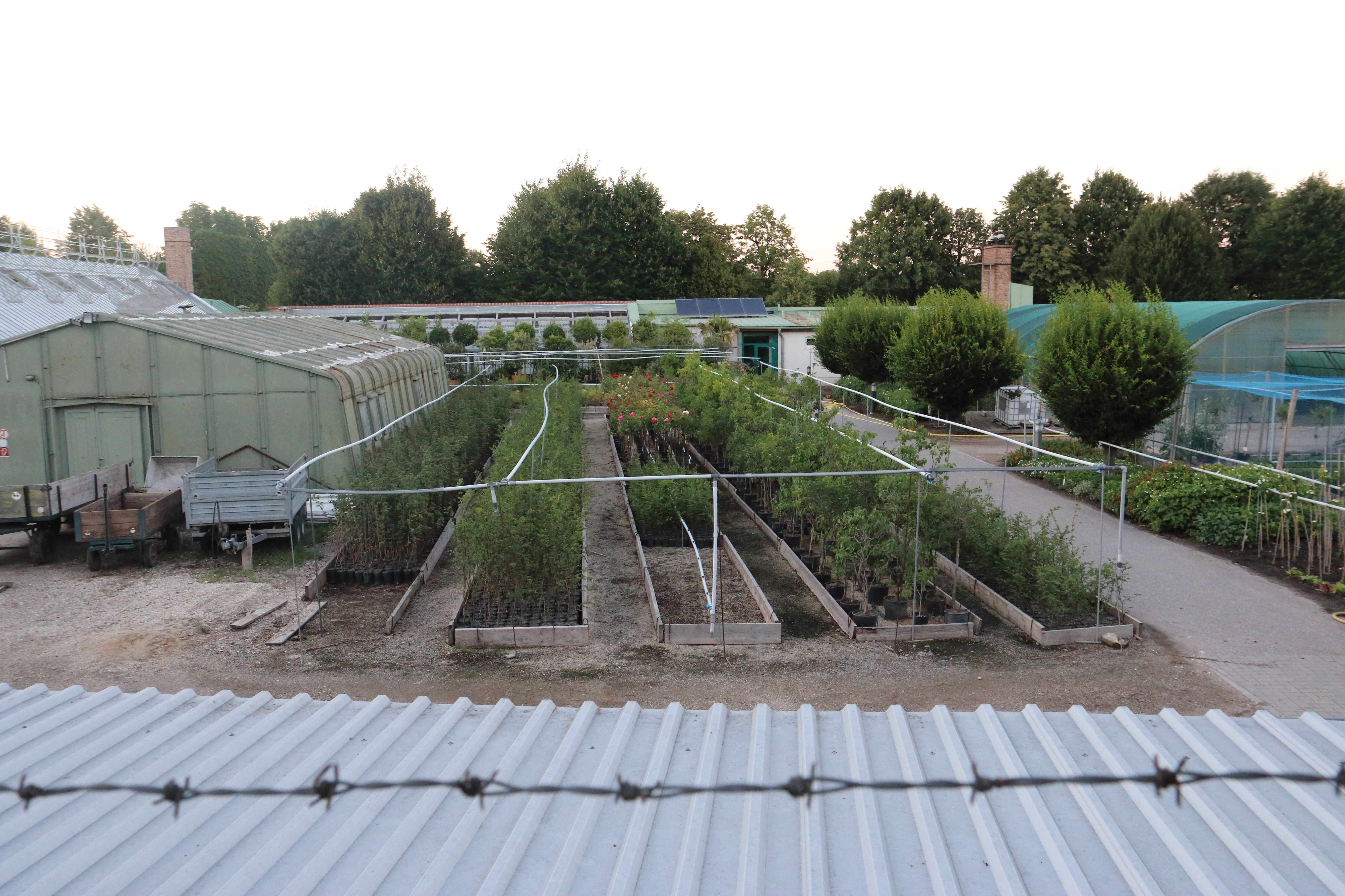
From Obere Augartenstraße you can’t really see much of the Augarten: it’s all blocked by fences and buildings. Peering over the fence, I found a garden within a garden: A restricted area where the staff cultivate plants that will be transplanted elsewhere in the garden. The high security fence is to keep thieves from stealing the plants.
Rathaus From Obere Augartenstraße
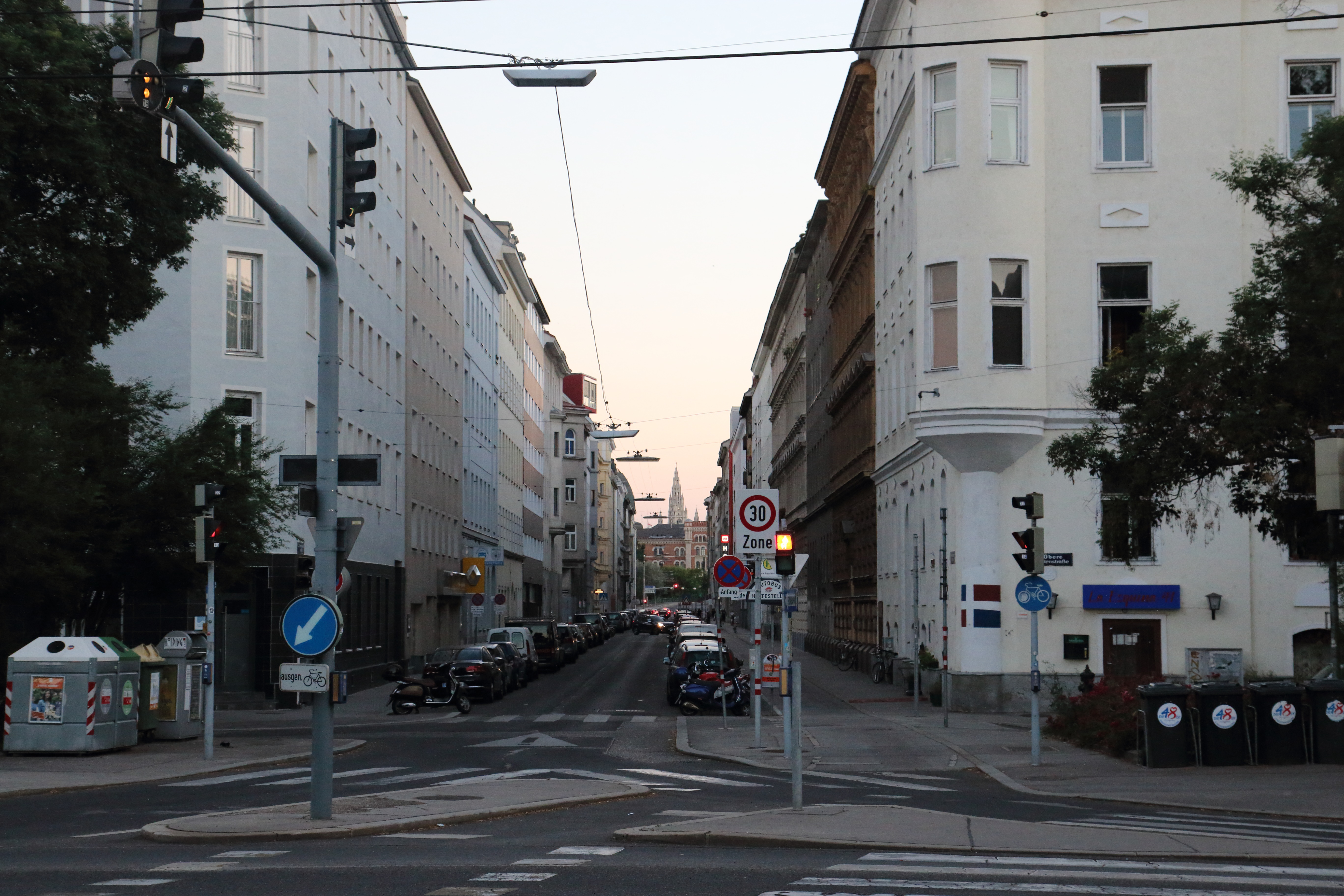
Looking left from the garden-in-the-garden, up Rembrandtstraße. I was startled by this striking view of the Rathaus (Vienna City Hall), 1½ miles away. There are streets at different angles, Vienna University, and a river between here and there. Was it planning or coincidence that preserved this view?
Flaktürme VII G-tower
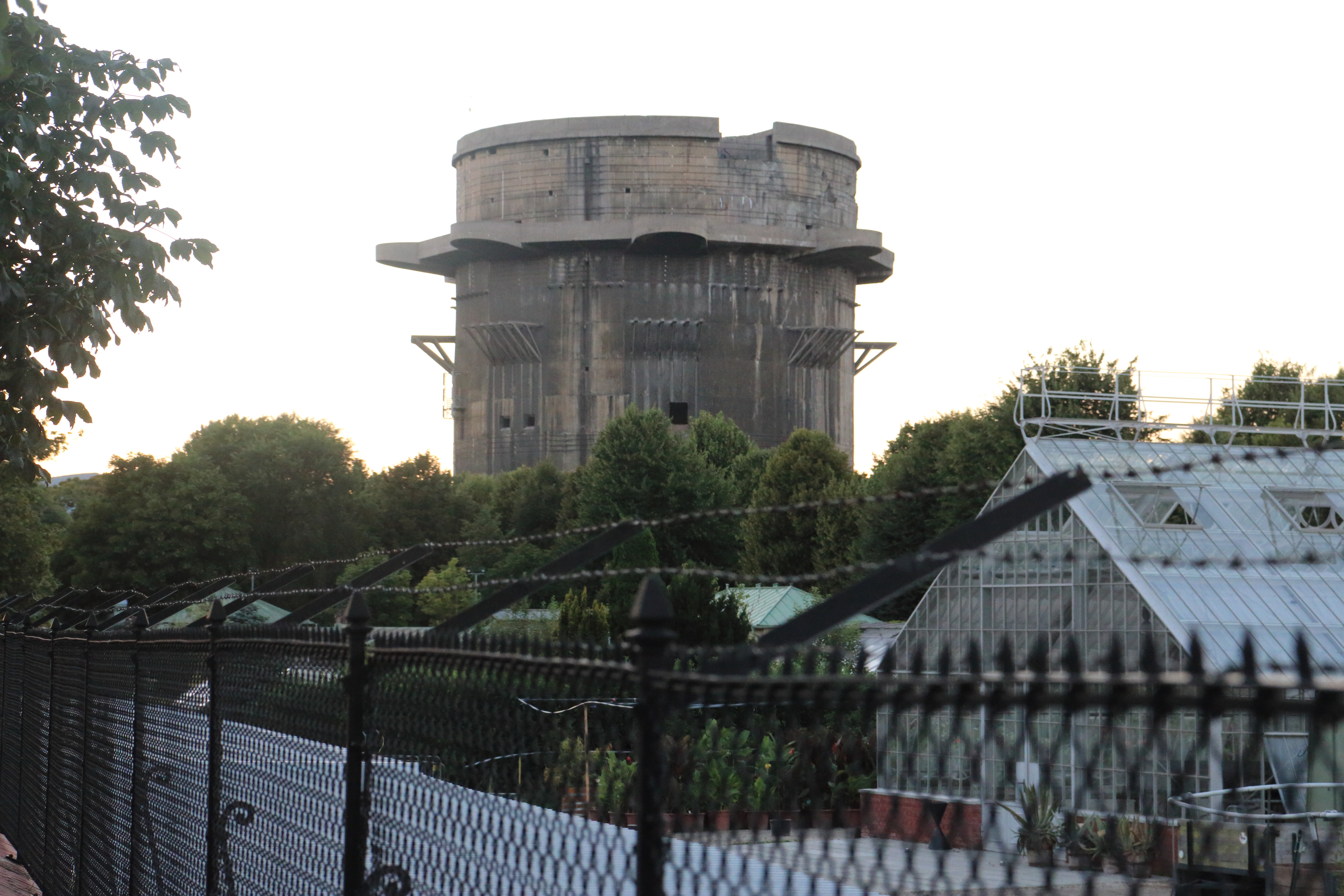
I thought the barbed wire added a sense of foreboding to the picture, even though it’s modern. (The greenhouse on the right is the same one as on the left in the previous picture.)
This sign was permanently attached to an open gate. I assume the sign has more relevance when the gate is closed.
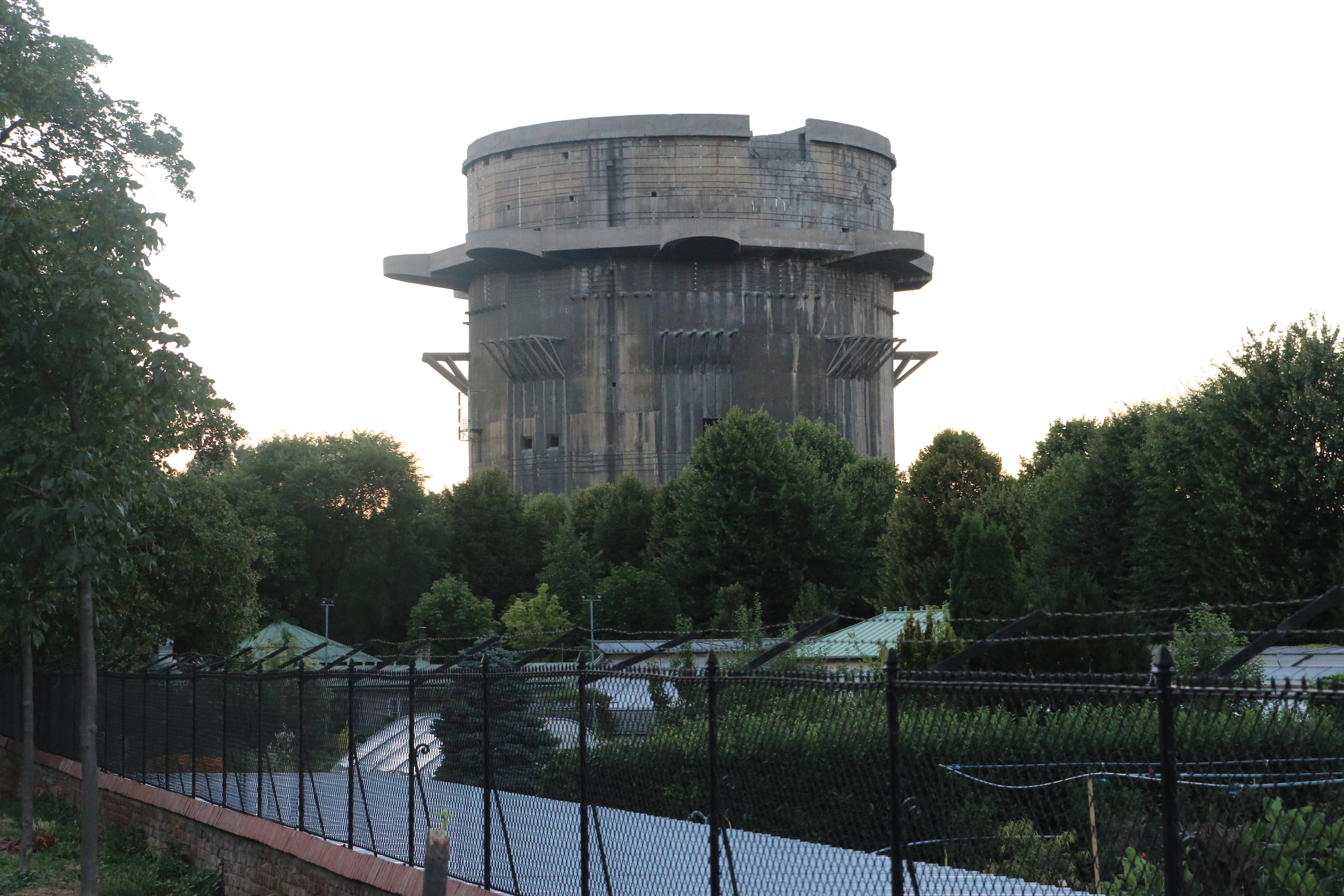
Flaktürme VII G-tower, from the south.
The silver-colored vertical bars are cell phone transmission antennas.
Flaktürme VII G-tower, from the west.
The setting sun is now at my back. The cell phone antennas are now more clearly visible, on the right.
Per the Wikipedia page, the tower was damaged by an internal explosion late in the war. I think this was actually the result of the failed attempt by Austrian authorities to demolish the tower after the war. 22 steel cables encircle the tower to keep pieces from falling off. This is a closeup of the tower damage and cables above the gun nests.
Verifying the change propogates.